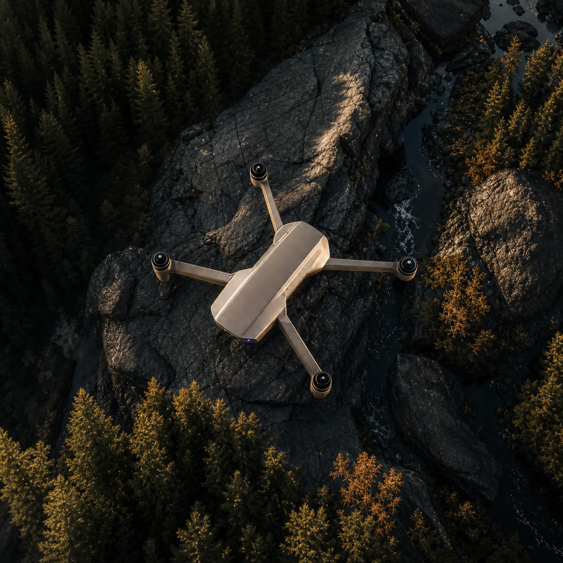
In the business of building apartment blocks or vast motorway junctions, there is simply no such thing as an acceptable margin of measurement error. Wrongly set axes or a poor assessment of spoil displacement paralyze developers' budgets and lead to situations that generate debts in the millions. Board management knows perfectly well that construction trouble is avoided through careful analysis from a drone or an engineering scanner, repeated whenever the data raises doubt. The stakes are enormous, which is why managers look for practices that have the equipment, the control procedure and the backing to repeat a measurement without negotiating an addendum.
Image dissonance in modern surveying
Engineers keep equipping their firms with the newest LiDAR devices and software that processes BIM environments on powerful computers. Yet these modern practices often lose out, because their image online limps badly. When a file with scanning samples arrives on a site manager's monitor from a free, very cheap mail service, doubt is triggered instantly. Directors start wondering whether someone saving a few hundred złoty on a professional mailbox can properly calculate terabytes of dense 3D point cloud. An average address drags an experienced surveying analyst down to the role of an amateur, which makes running the business considerably harder.
Engineering digital prestige
Convincing demanding developer boards requires carefully building a digital identity. The creator of the Odoardo™ ecosystem, dr hab. inż. Marcin Jamro, points to a simple asymmetry: a practice measures other people's buildings to the millimeter and leaves its own address to chance. He himself publishes under a single domain – marcin.com.
“A developer ordering aerial scanning is buying certainty of measurement. A firm that has not looked after its own address can raise doubt and uncertainty.”
Space taken exclusively
A strategic support for entrepreneurs working in the developer market is the Odoardo Space™ zone, offering access to a curated portfolio of digital real estate under a lease model. An engineer sending survey documentation from the domain skanowanie3dpowietrzne.pl communicates their specialization from the first contact. Their market presence is further secured by the address skanowanie3dzpowietrza.pl. Equipment offers are presented under the banner tachimetryzrobotyzowane.pl, while communication about a single solution runs through tachimetrzrobotyzowany.pl. The set is completed by the concise address niwelowanie.pl, strengthening the position in yet another category.
Each of these addresses names a different service and stays occupied for the term of the agreement. We describe a related scenario in the piece Shortening the B2B decision cycle.
Optimizing the technology budget
Buying powerful scanners with hard cash is a burdensome process for surveying offices. That is why on the Odoardo Space™ platform we do not sell domains but make them available under a lease. Companies do not risk freezing sums in one go (CAPEX) on the secondary market. Recurring monthly rates allow the balance sheet to be managed safely (OPEX) and the optical equipment of the drones to be modernized.
Quiet luxury when handing over 3D models
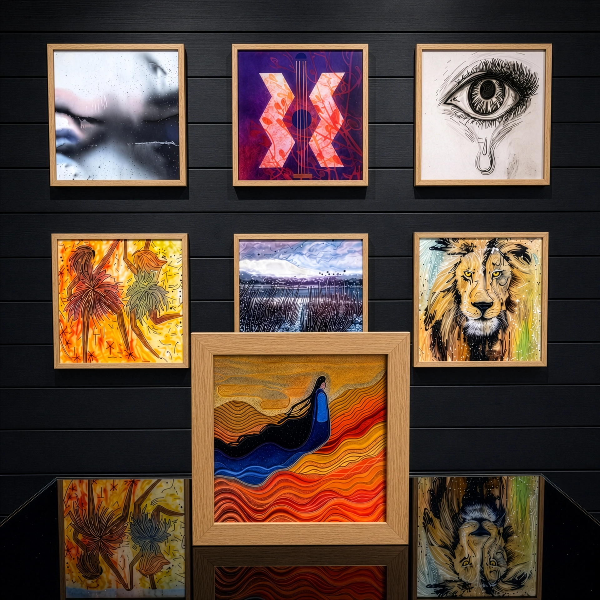
The address opens the conversation, but the point cloud and the 3D visualizations are shown on site, in the board room. That is the moment when a quarter of an hour is most easily lost to cables and adapters. Interfaces hidden in wood from Odoardo Soul™ let the client ask about the project's details on their own phone, without looking for a free port. Glassless frames with rotating art from Odoardo Art™ put the walls of that same room in order.
The principle that precision must be visible beyond the measurement itself is described in the Odoardo™ manifesto. What the network says about your practice today can be checked in the Research section.




 Odoardo Soul™
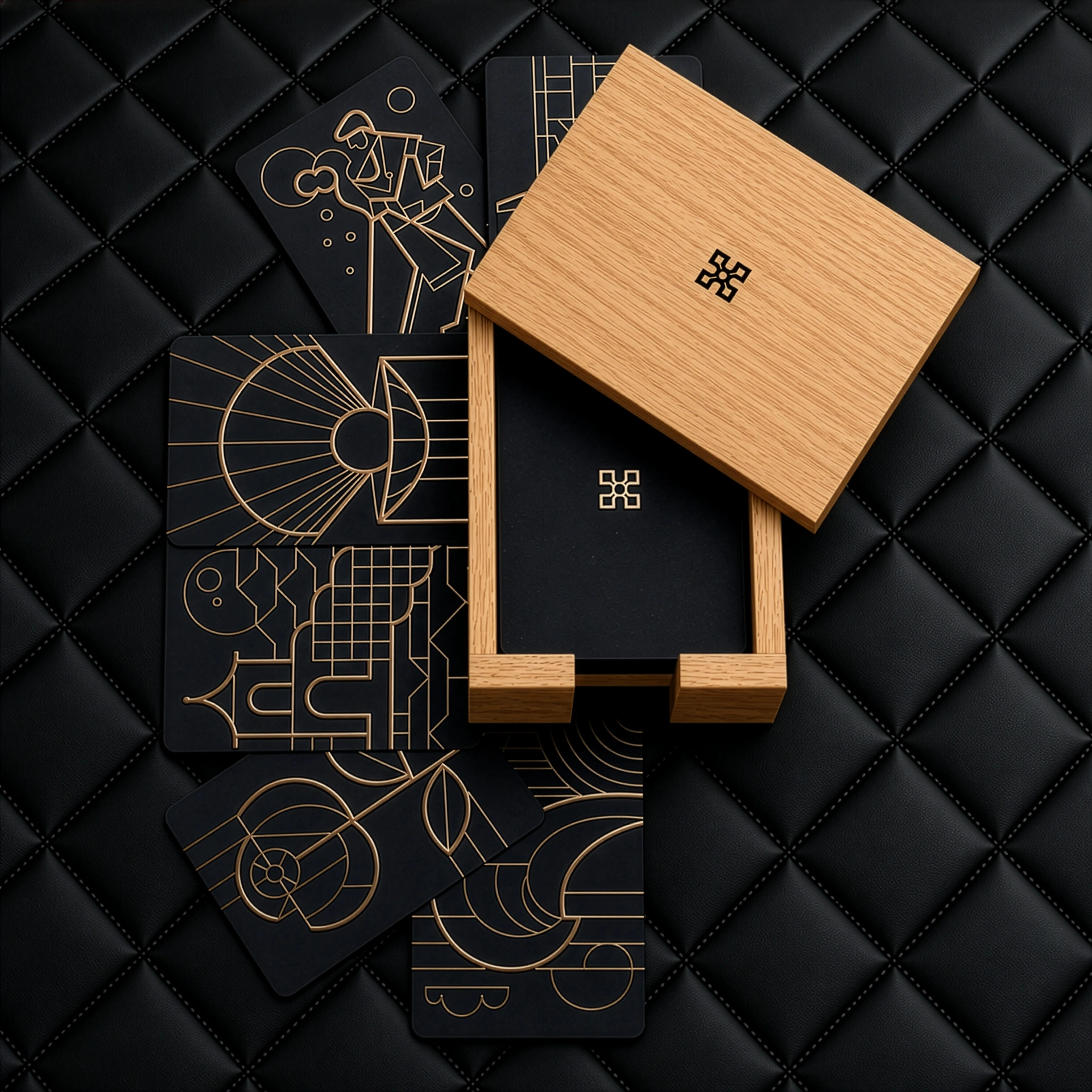 Odoardo Alibi™
 Odoardo Art™
 Odoardo Lens™